Mapping Health Facilities for Better Healthcare Access
Proven in the Field
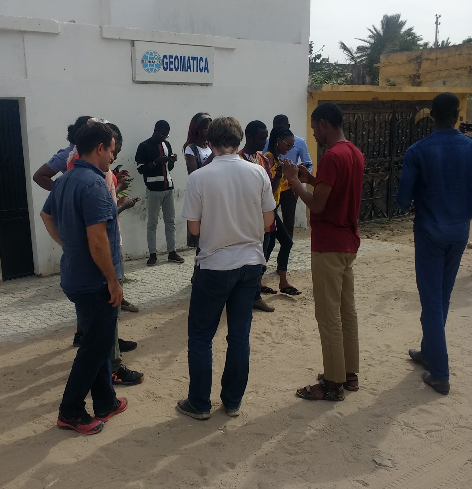
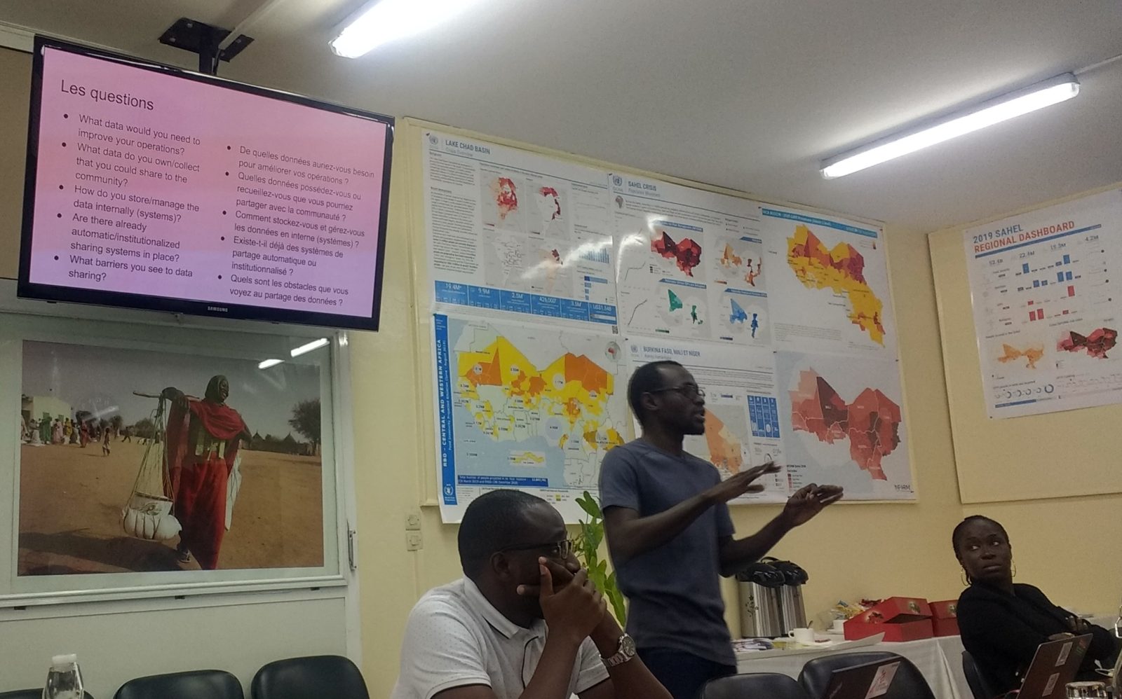
Launched in the medical district of Saint-Louis, Senegal during the COVID-19 pandemic, a team of 12 OpenStreetMap community members validated health facilities in three months — data that remains freely available on OpenStreetMap today.
16 personas & 101 user stories co-developed with local communities · Data shared directly with national health authorities, COUS and PATH · See the Saint-Louis campaign →
How We Work
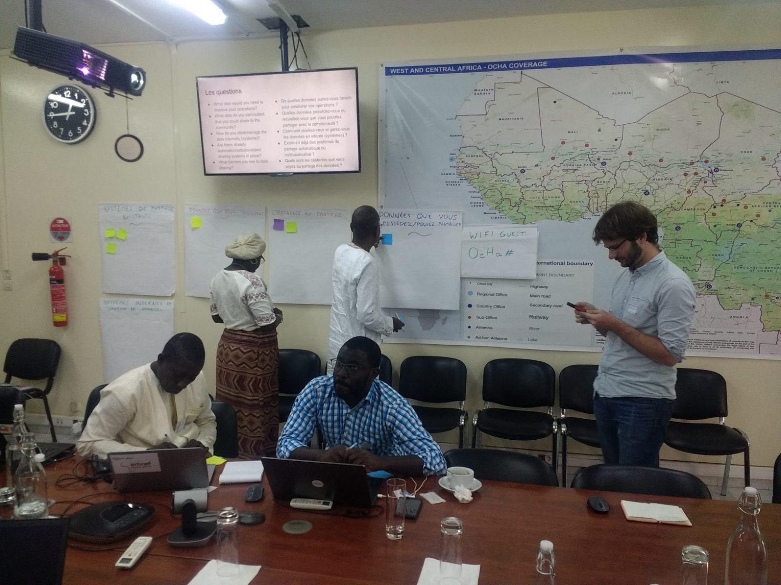
Every campaign follows a structured, two-stage methodology — from producing open data to turning it into lasting health policy.
Validation Campaign
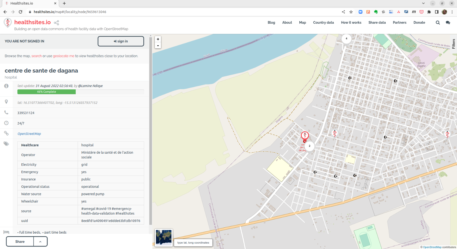
A structured field campaign producing a GPS-verified census of health facilities in a target medical region. All validated data is published to OpenStreetMap — permanently maintained and freely accessible.
- Human-Centred Design & stakeholder workshops
- Data audit & reconciliation (open-source R toolset)
- Geospatial training in OSM & QGIS
- Field validation of every facility
- Publication & sharing to OpenStreetMap
Evidence & Policy Engagement
Taking validated data and applying it to the institutional challenges that determine lasting impact — clinical confirmation, data governance, and sustainable public financing.
- Clinical confirmation of priority user-story facilities
- NSO–MoH–OSM interoperability framework
- Ministry of Finance advocacy: data as infrastructure
“A data commons is not a technology, it is a form of governance.”
healthsites.io is building an open data commons of health facility data with OpenStreetMap. Health facility data, like clean water or fresh air, functions as a common good — and its governance should reflect that.
For Ministries of Health, this reframes the case to bring to their Ministries of Finance: validated health facility data is not a recurring project cost, but a permanently maintained national infrastructure asset.
Get Involved
healthsites.io welcomes engagement from organisations that share a commitment to open health data and equitable access to health services.
Partner
Co-govern a Digital Public Good that puts accurate health facility data in the hands of those who need it most.
Become a partner →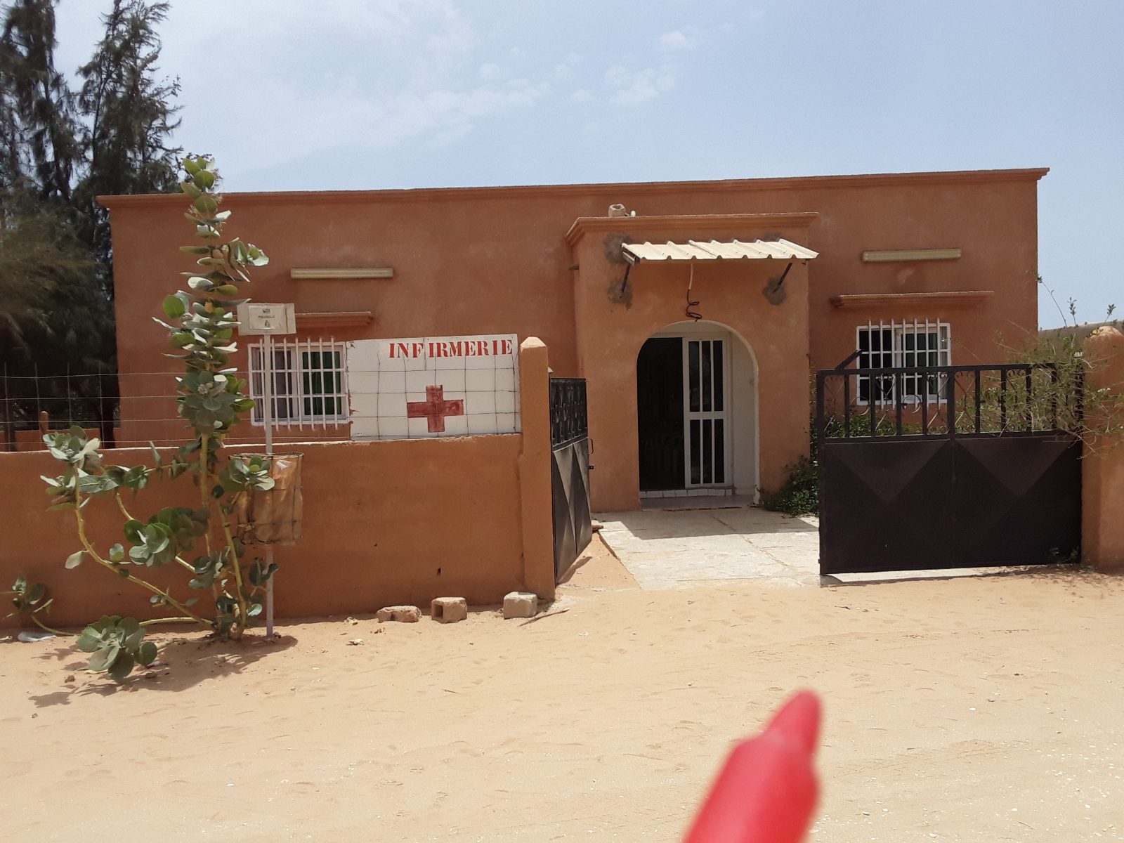
Invest
Support innovation in health data infrastructure and contribute to Universal Health Coverage goals.
Support innovation →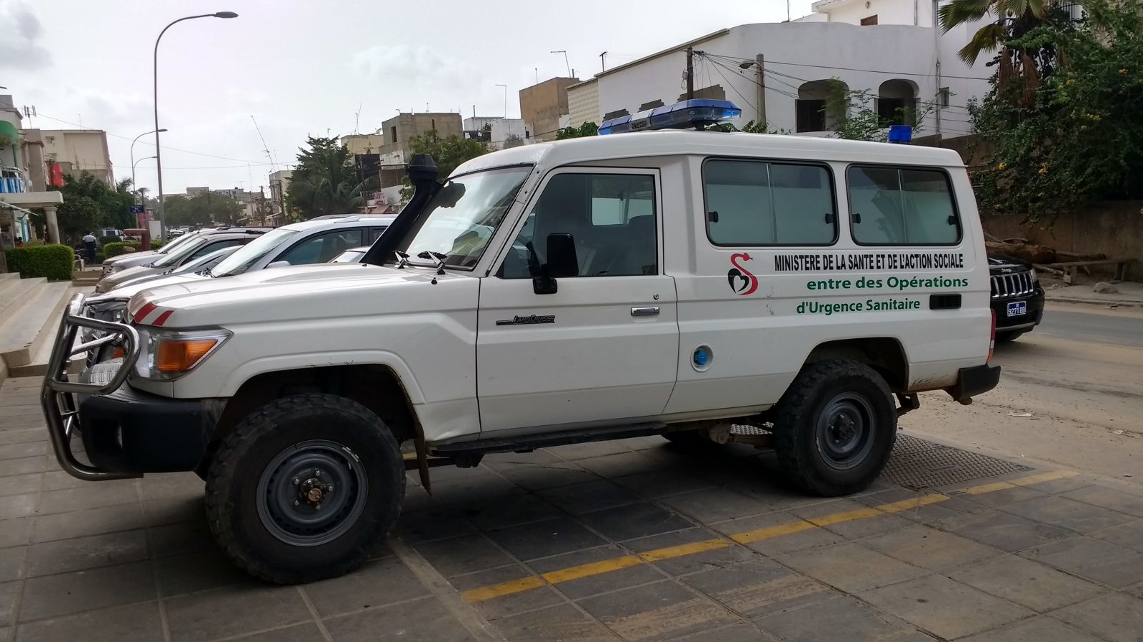
Support
Engage in a targeted campaign that delivers measurable, lasting impact in an underserved region.
Support a campaign →Our Partners
The Saint-Louis campaign was delivered in partnership with the following organisations.
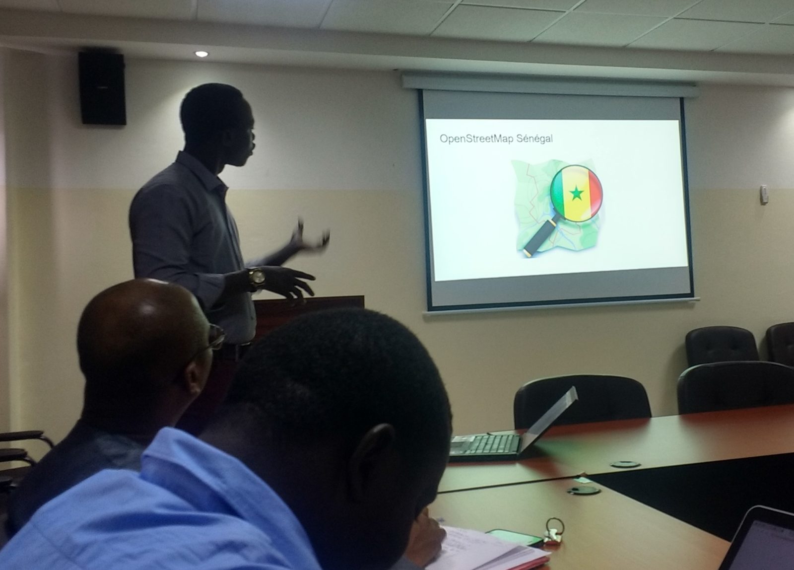
OpenStreetMap Senegal
Ministry of Health & Social Action
WHO
UNICEF
Global Fund — C19RM
PATH
OpenStreetMap
OpenStreetMap is the volunteer-driven, openly licensed spatial data infrastructure that makes this work possible. By contributing validated health facility data back to OpenStreetMap, every campaign strengthens this data commons for everyone.
OpenStreetMap